The southern foot of Monte Bollettone fits between Como and Erba, a stretch of about 12 km. With it’s elevation of 1317 meter it’s, seen from the south, the first serious mountain and the start of the Italian Alp region. In fact, south from the foot it’s almost flat. This means that Monte Bolletonne offers spectacular views. Ah, yes, on the other side of the edge you get an amazing view of Lake Como as it winds it’s way trough the mountains.
It’s a beautiful summer morning in July 2016. We, myself, good friend Arjen and my dog Tøsen are ready for some exploration. And we are in luck. Staying in a basic but dog friendly apartment located at the west side of Monte Bollettone’s edge, we are straight at the starting point of a beautiful hike. Already at altitude that is. The apartments of Baita Bondella are at 1075 m above sea level.
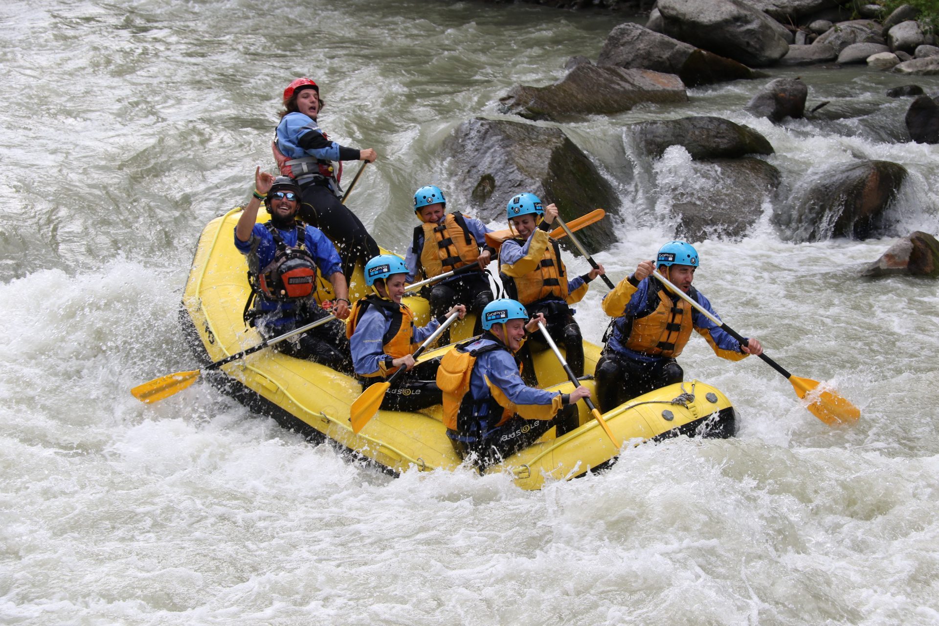
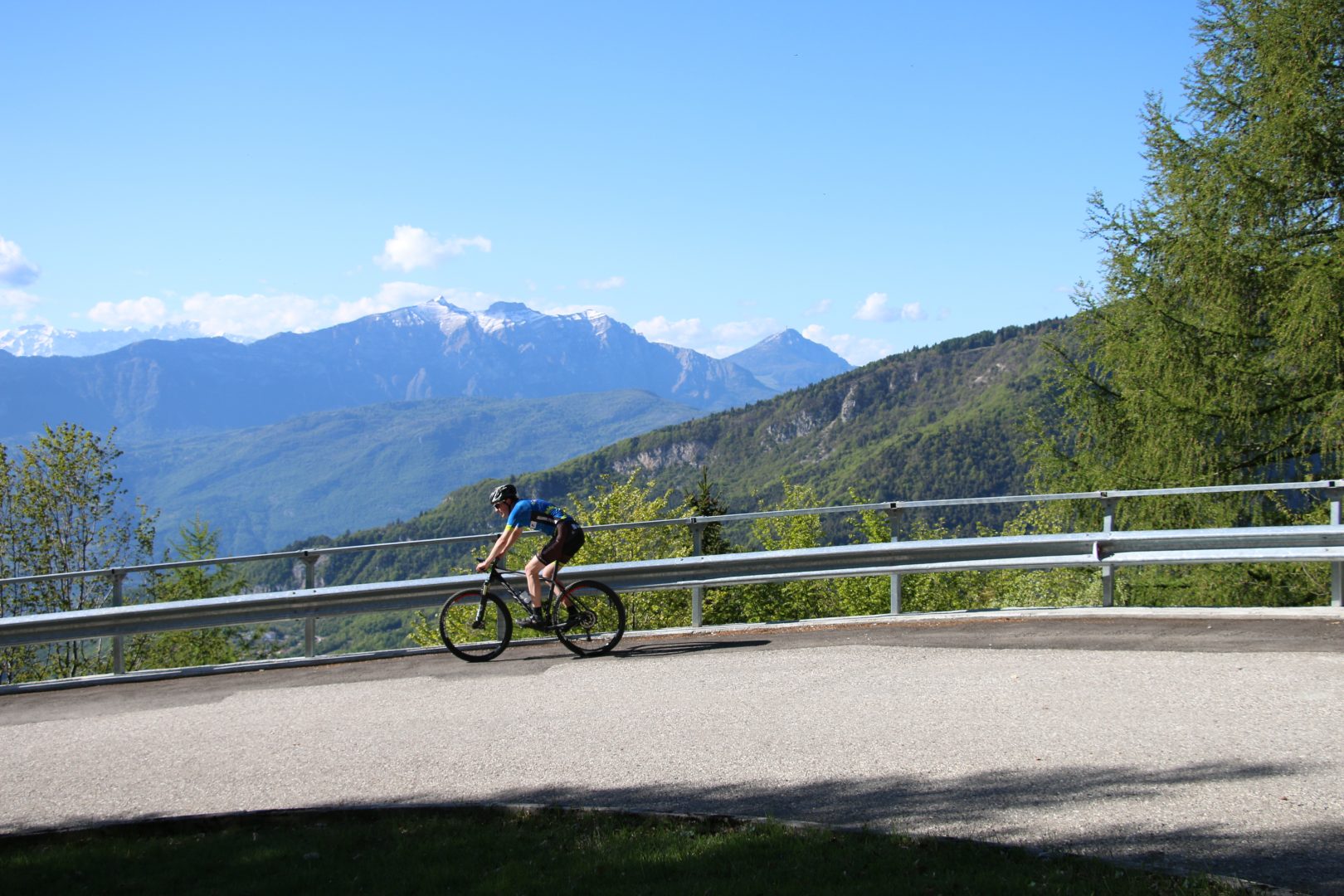
While the edge of Monte Bollettone lends itself for wonderful hikes, it’s also popular among mountain bikers. Not that these two groups collide. There is enough space and trails for everyone. And while in summer time it can be a bit more crowded, the edge and it’s views are spectacular in any season of the year. From the colorful autumn forest to the snow covered peaks and slopes in winter time, Monte Bollettone will not disappoint.
The hike
But we are here in summer time. With around 34 degrees at 11 a.m. and a haze in the sky that, for if we didn’t feel it yet, gave away the high humidity in the air, it’s important to plan our walk. As we are bringing a dog we need to make sure we bring enough water for both the dog and our self. While the initial idea was to walk the entire edge, we decided to cut down a bit. In stead of the open and exposed edge, we took a trail into the woods, so at least we walk in shade.

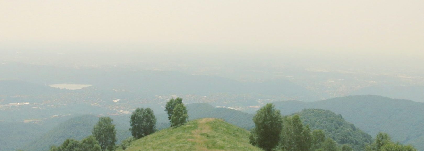
Our trail slowly descended and gave use small views to the south. If it was not for the haze, the skyline of Milan would be visible. Never the less, the distance and wide area that can be seen are of great beauty.
After some time we decided we had to go up. This is where it got hard. For some parts using our hands to stay up and pausing every 5 minutes, it took a good while to cover little distance, but great ascent. It was not long before we got on open grass fields from where it was not far to the top. This was a tricky bit that definitely requires you to be fit.
After having a long break at the highest point of the hike, we followed the path back to our apartment. With the sound of cowbells in the air we pass another baita where it’s possible to get eat and drink. We decide to walk on to our own apartment. After about one and a half hour in these hot and humid conditions both human and dog are toast.
Routes
While we decided, considering the conditions, to take a shortcut, the full walk over the edge is very much recommended. You can also opt to go and explore by mountain bike. If you are considering including the climb from Como or Erba, either by foot or by bike, know that you are about to do something rather extreme!
Starting from the given points will give any person a good enough challenge. If you are an enthusiast or trained athlete you can consider starting at a lower altitude. A good point could be Brunate which you can reach by funicolare from Como.
How to get there
By car you have two options. You can start either west, going up hill from Como or east, where the road up starts in Albavilla, just west of Erba. On both locations, as shown on the map, there is parking space available. Do note that during weekends in summertime it can be busy.
An alternative, for if you are staying in Como, is to take the funicolare to Brunate and walk your way up from there. From Brunate, the entire route from west to east might be a bit too much for the average hiker. Just going for the small hike we did will most likely be sufficient. Timing you hike well, you can end up having dinner by sunset at one of the restaurants with beautiful panoramic terraces in Brunate.
Where to stay
While a single day hike on Monte Bollettone gives you spectacular views, staying a few days at altitude will make you appreciate the environment even more. Experience sunset, nighttime and sunrise. Discover the wildlife that shows up in the dark.
We stayed at Baita Bondella, a building with several apartments, restaurant and beautiful panoramic terrace. With a fresh made breakfast included in the sharp price there is no better way to start the day.
The apartments itself are basic. You can’t drink tap water and don’t expect an nice long and warm shower. However the staff is very friendly and welcoming and the place is even dog friendly. And in these surroundings, who’s going to sit inside an apartment anyway?


Come over and explore
If you like mesmerizing views and the beauty of nature, Monte Bollettone is a perfect destination. Whether it’s for hiking or biking, there is a trail for you. We highly recommend you to go and visit this area.
Need assistance? Or planning a group trip? Get in touch with us at [email protected]. With our knowledge and local presence, we can arrange the best pre-build and highly customizable travel pages for you.